Skip to content
  • Information
  • Exhibitions
  • Fairs and Events
  • Artists
  • 1AQ
  • Publications
  • Information
  • Exhibitions
  • Fairs and Events
  • Artists
  • 1AQ
  • Publications

INDIA: A MAPFUL STORY 2017

1 August, 2017

TO

20 August, 2017

SEE ARTWORKS

VIEW CATALOGUE

GALLERY VIEW

VIEW ALL EXHIBITIONS

Exhibition Details

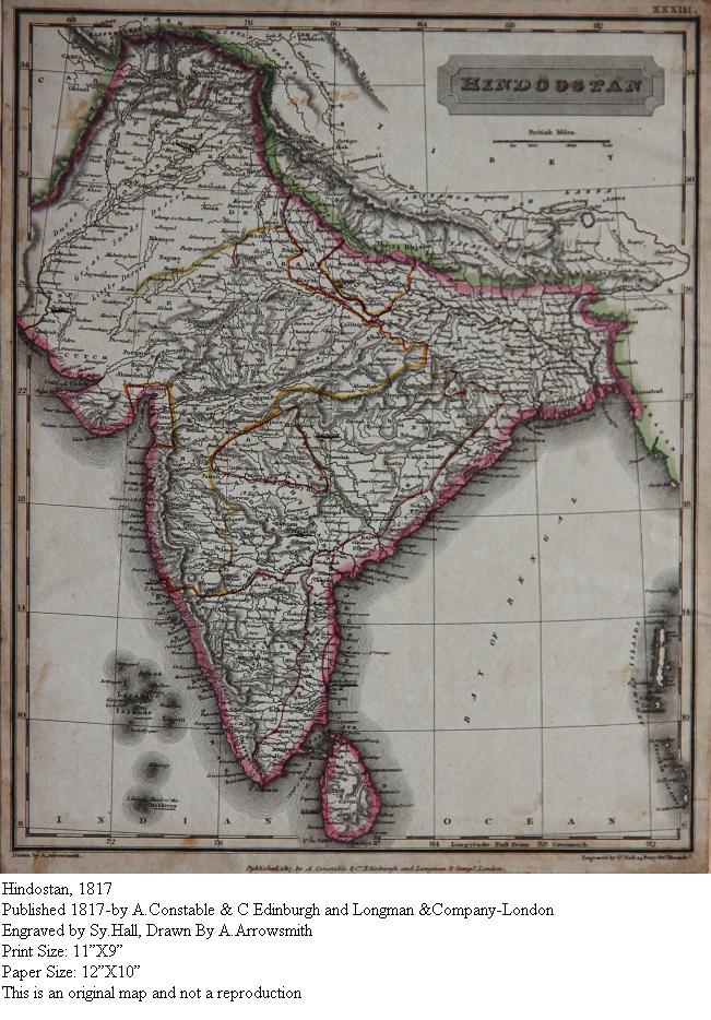
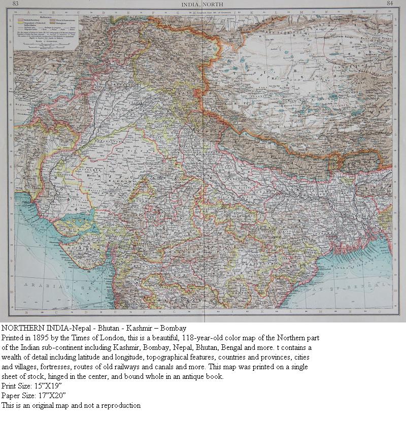
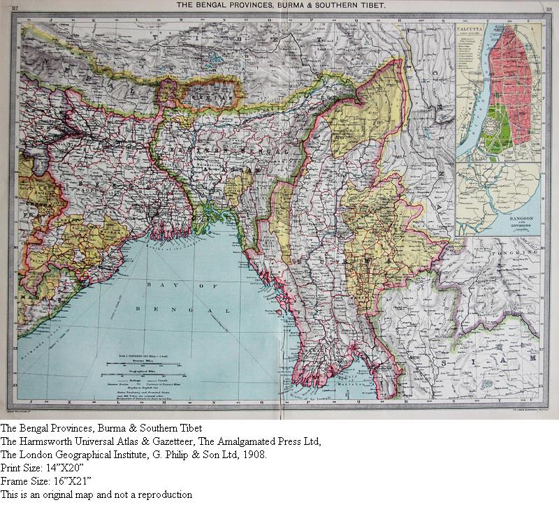
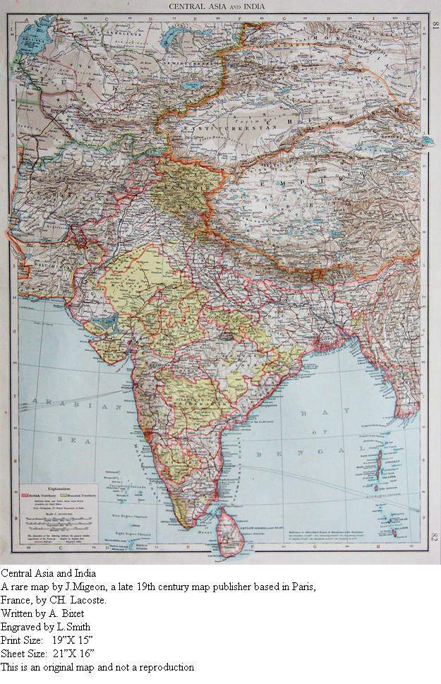
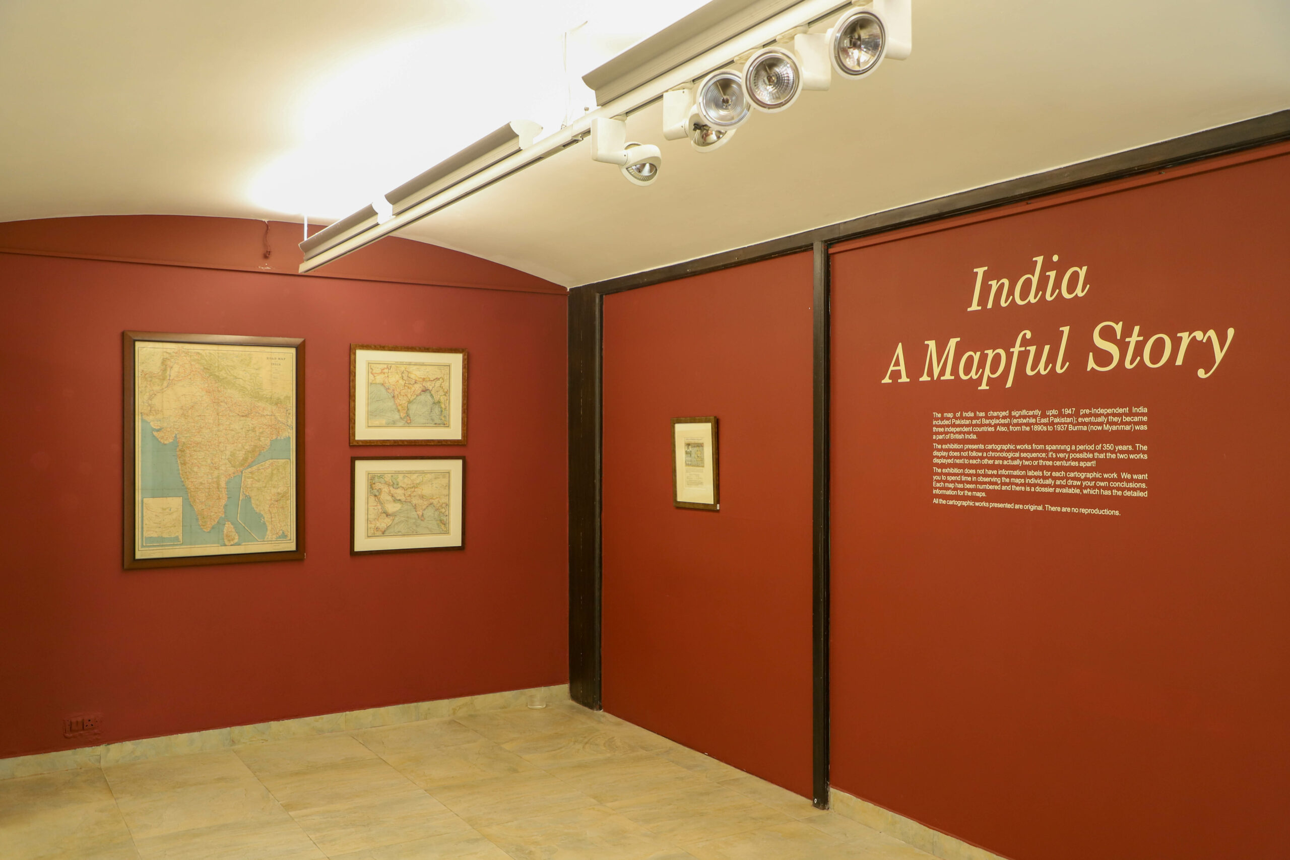
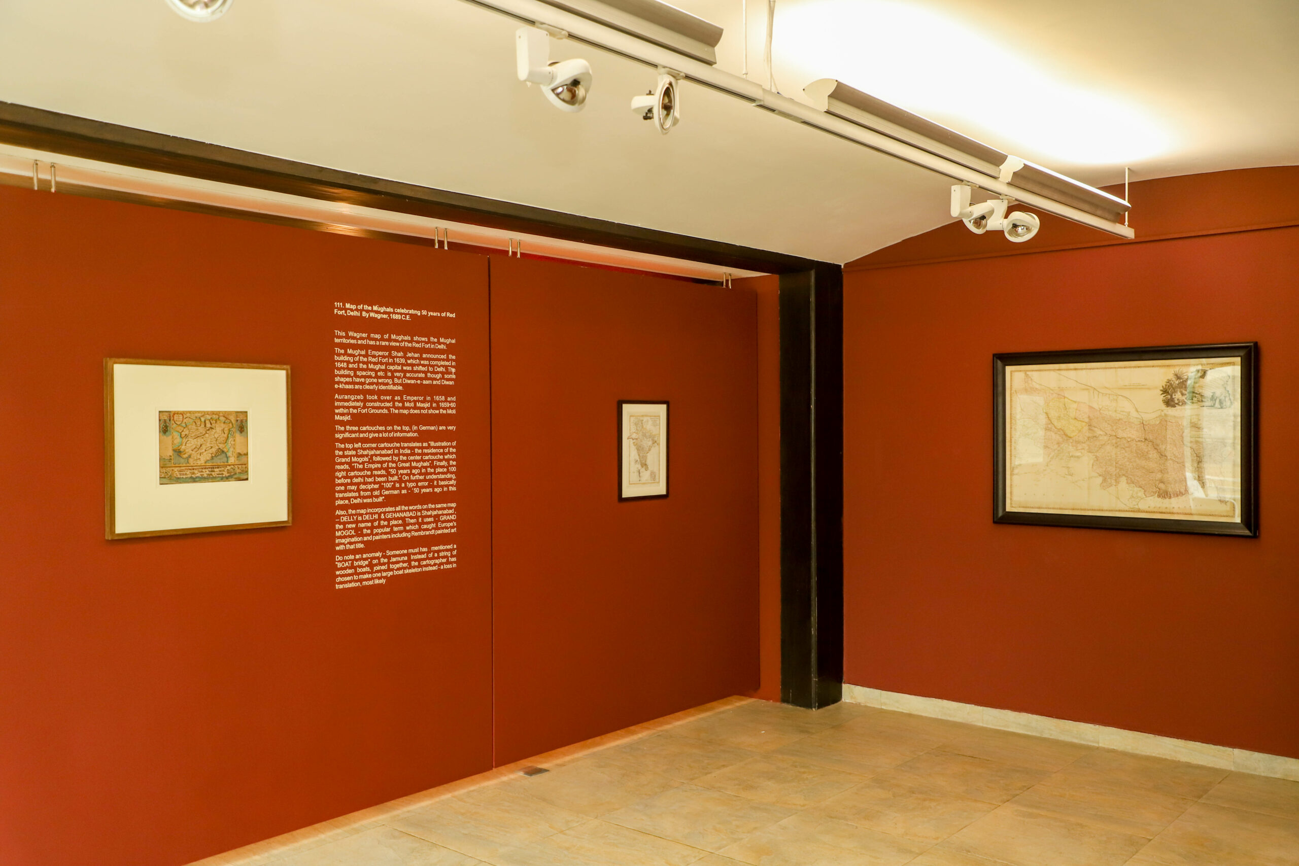
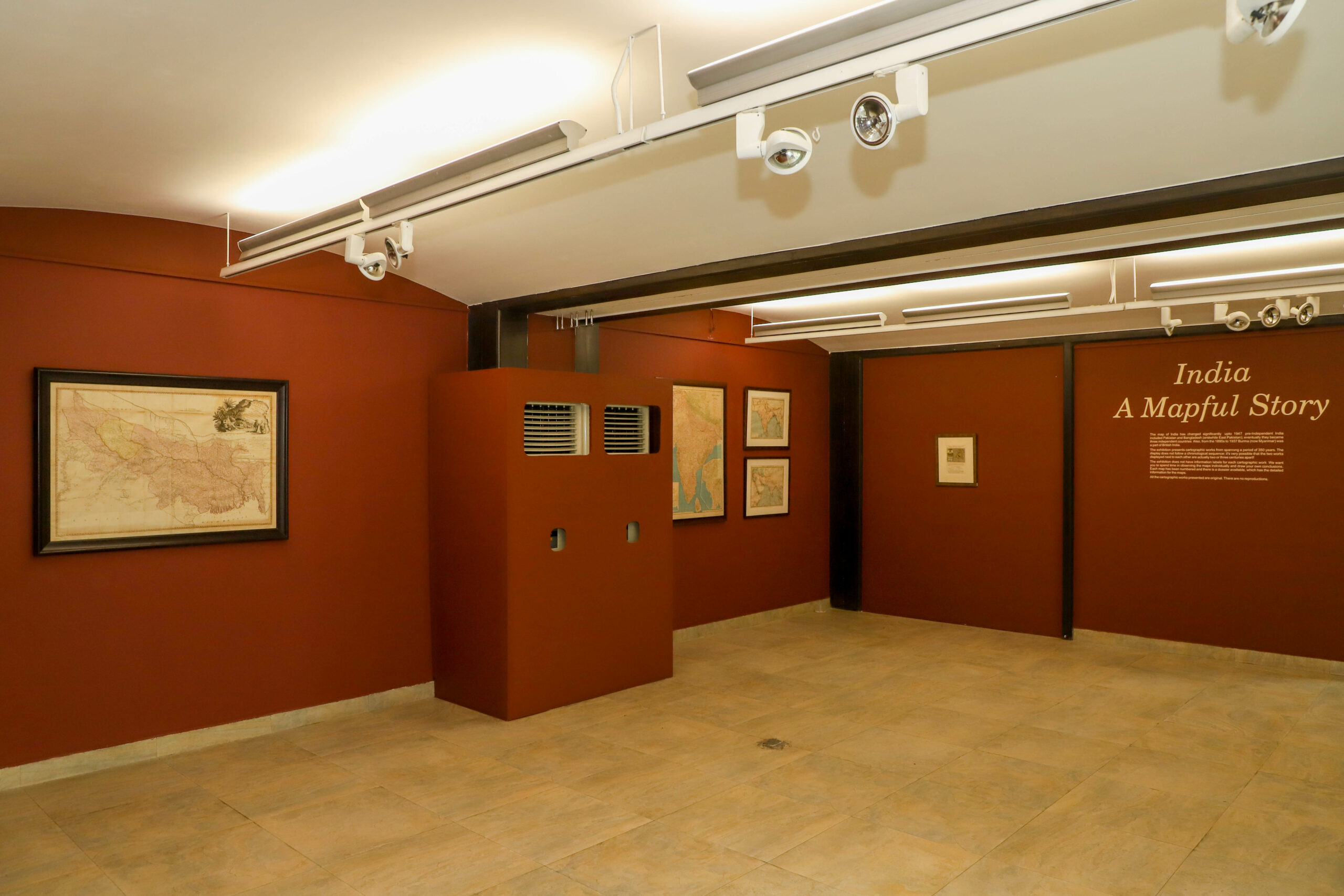
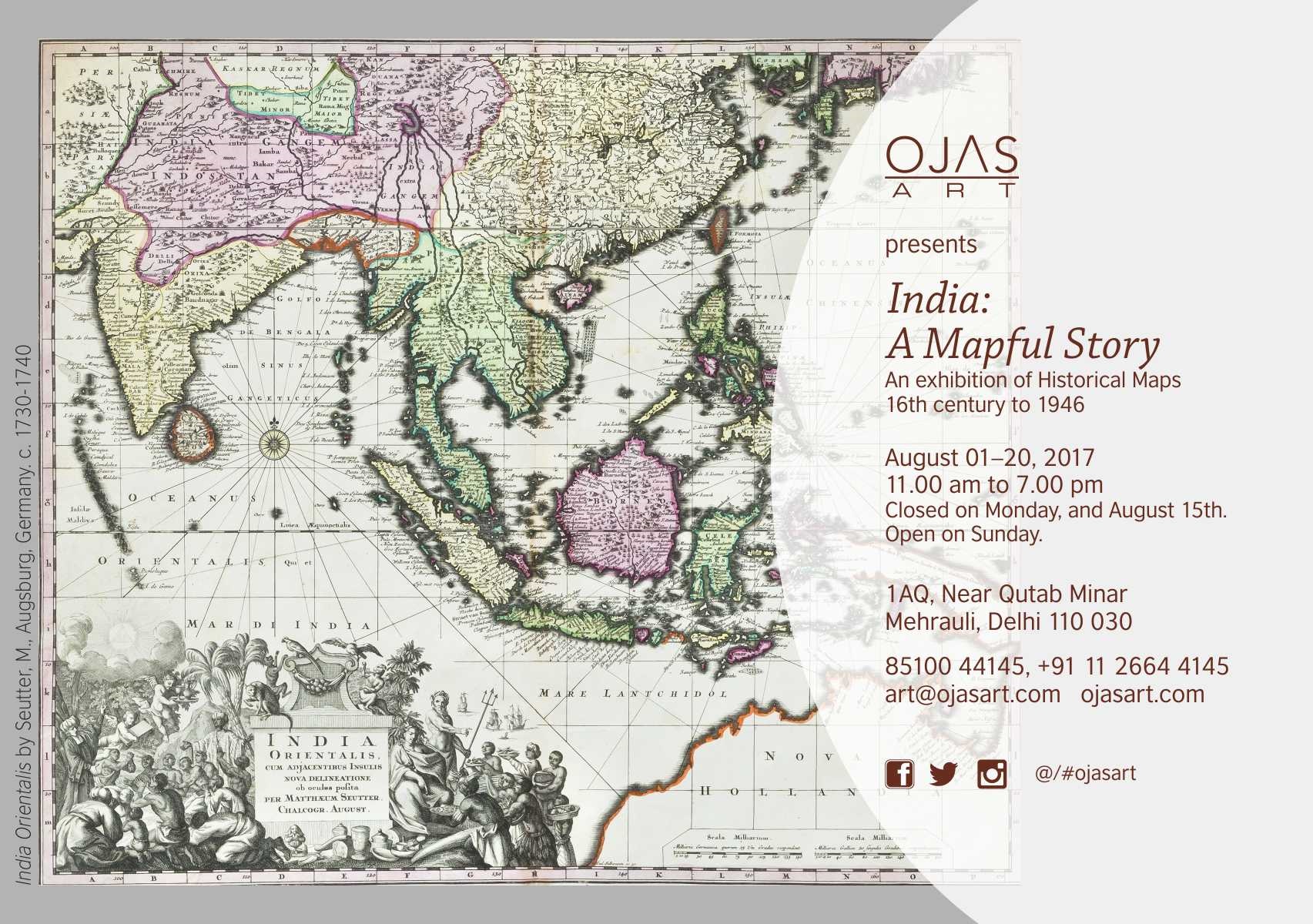
An exhibition of Unseen historical maps and other important engravings (circa 18th century to 1946)

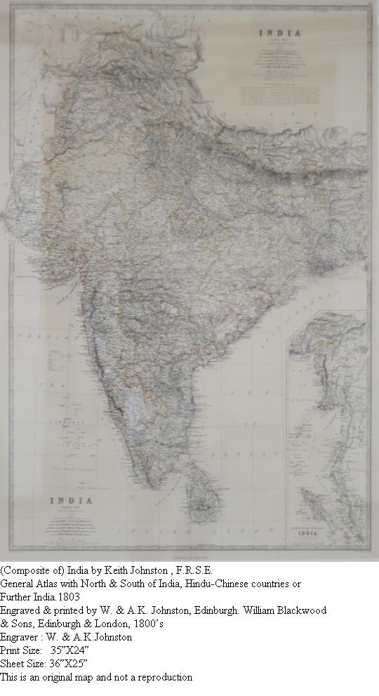
It’s interesting how maps define the borders of each country. Pre-Independent India included Pakistan and Bangaldesh (erstwhile East Pakistan) and Post-Independence they became three different nations.

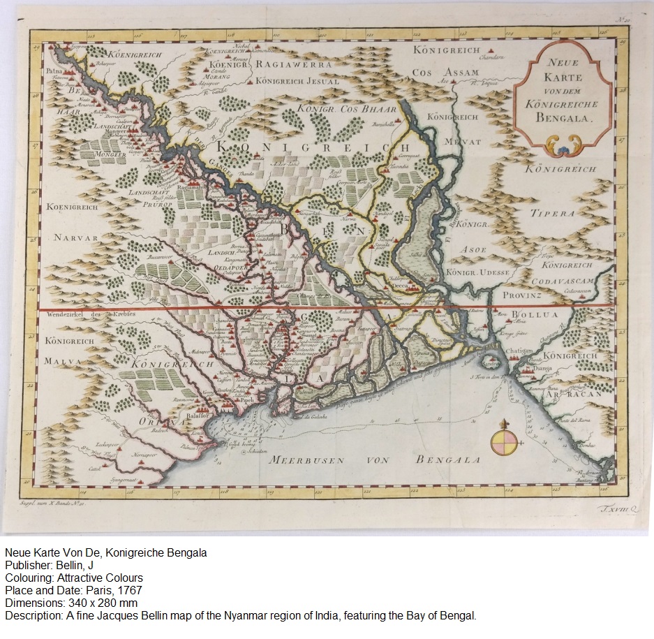
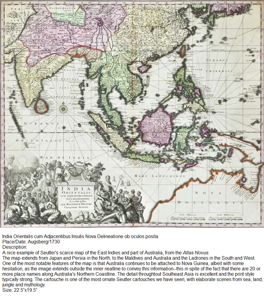
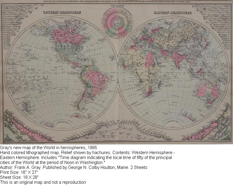
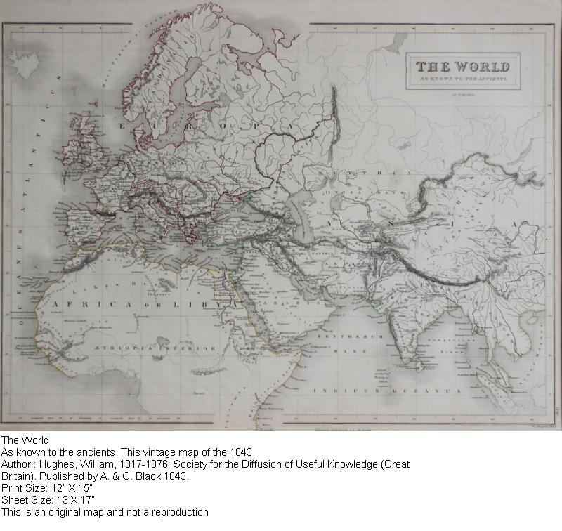
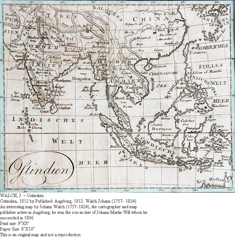
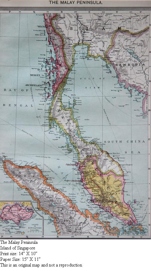
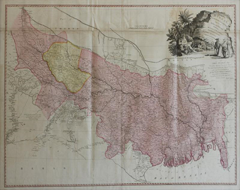
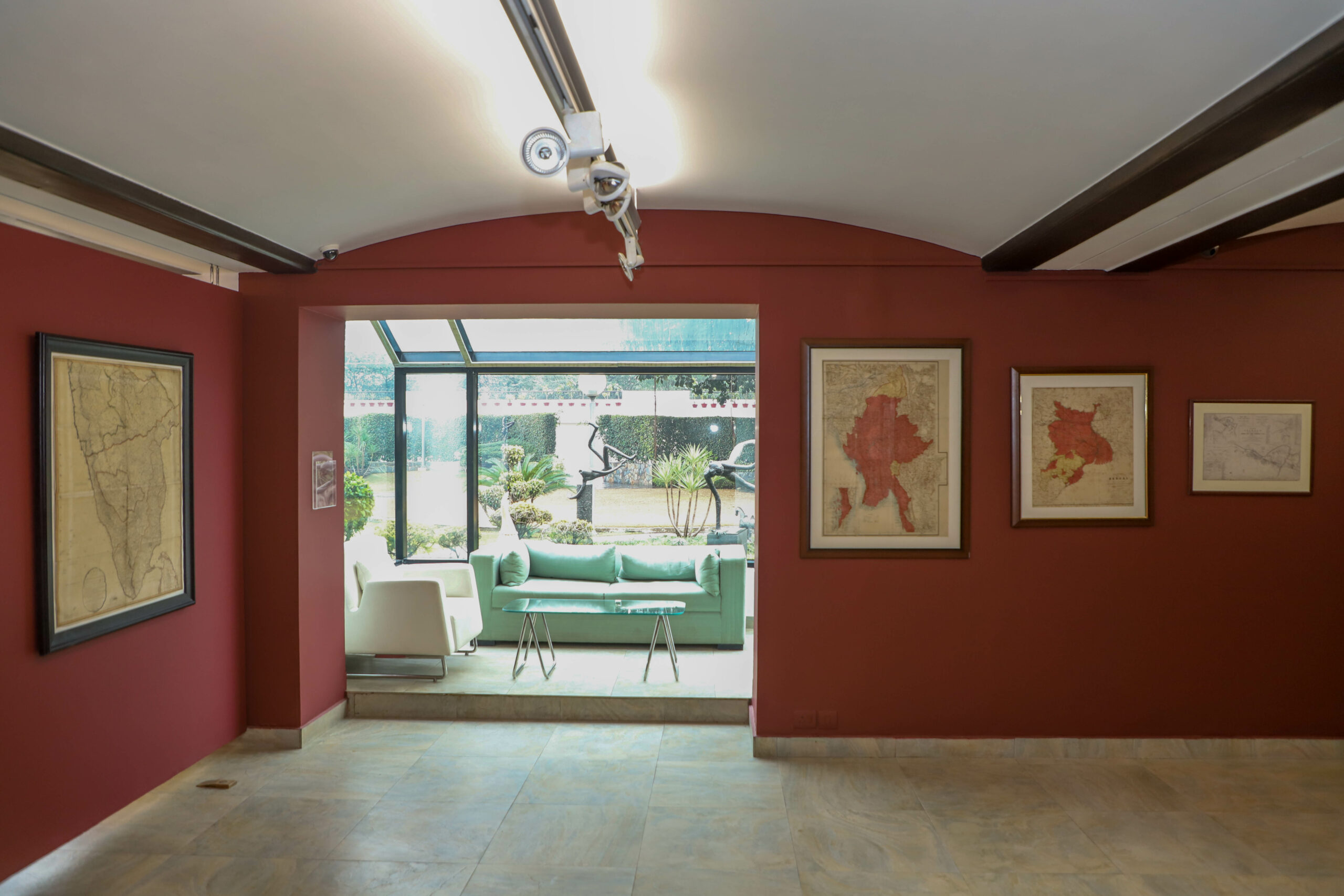
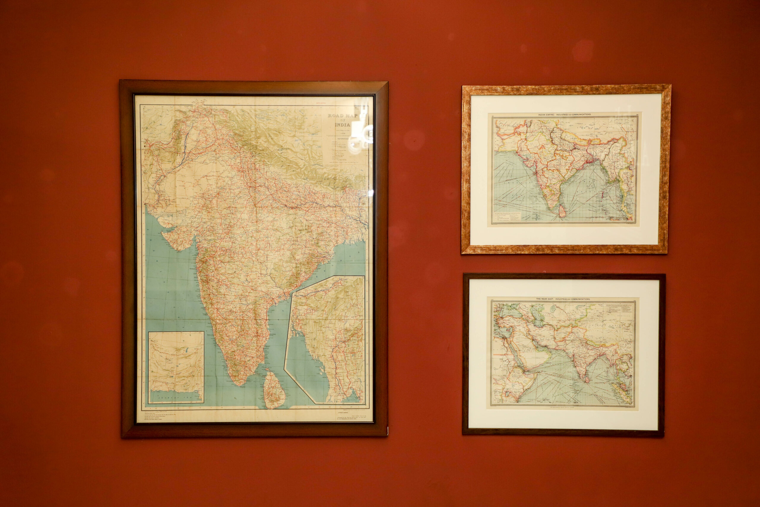
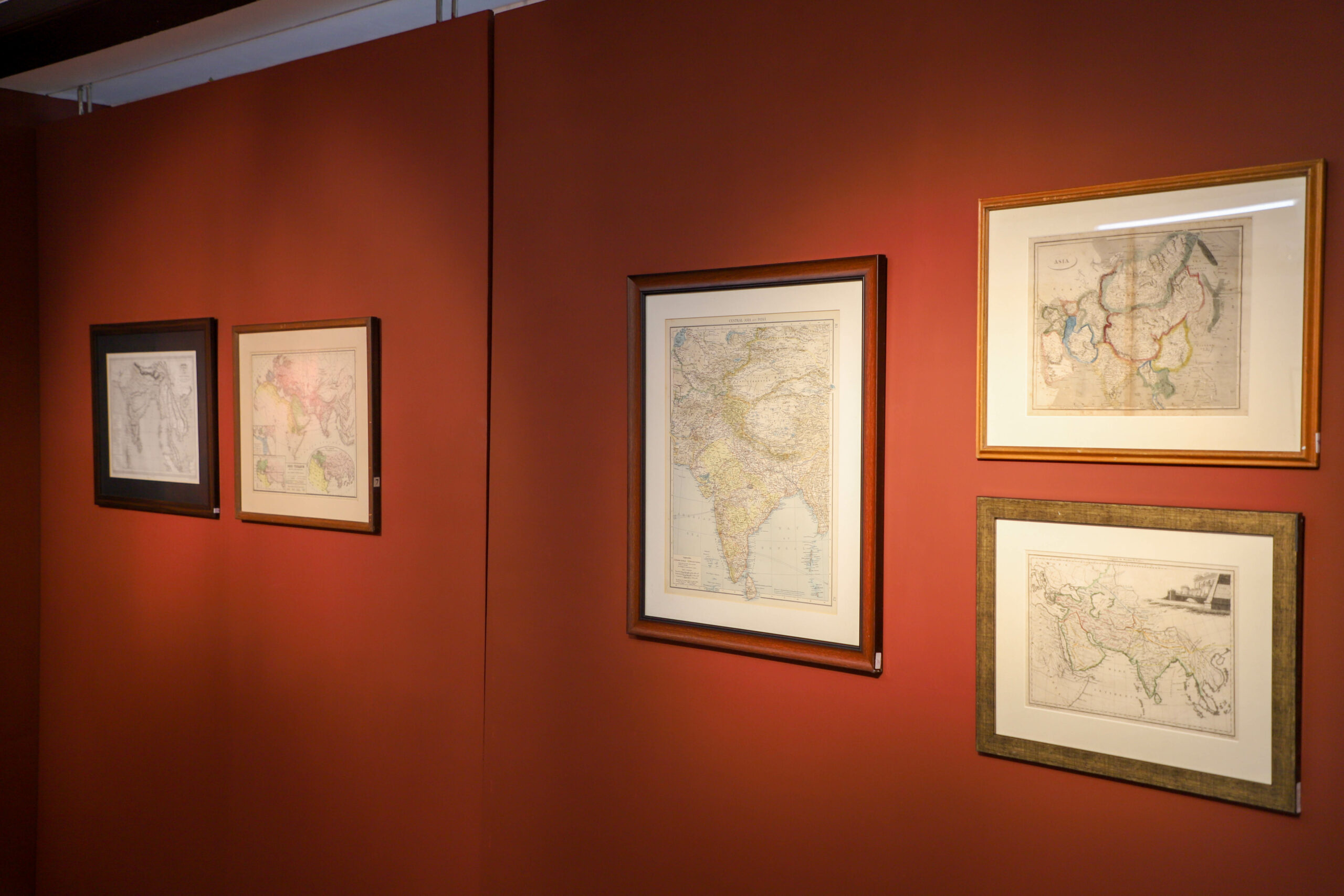
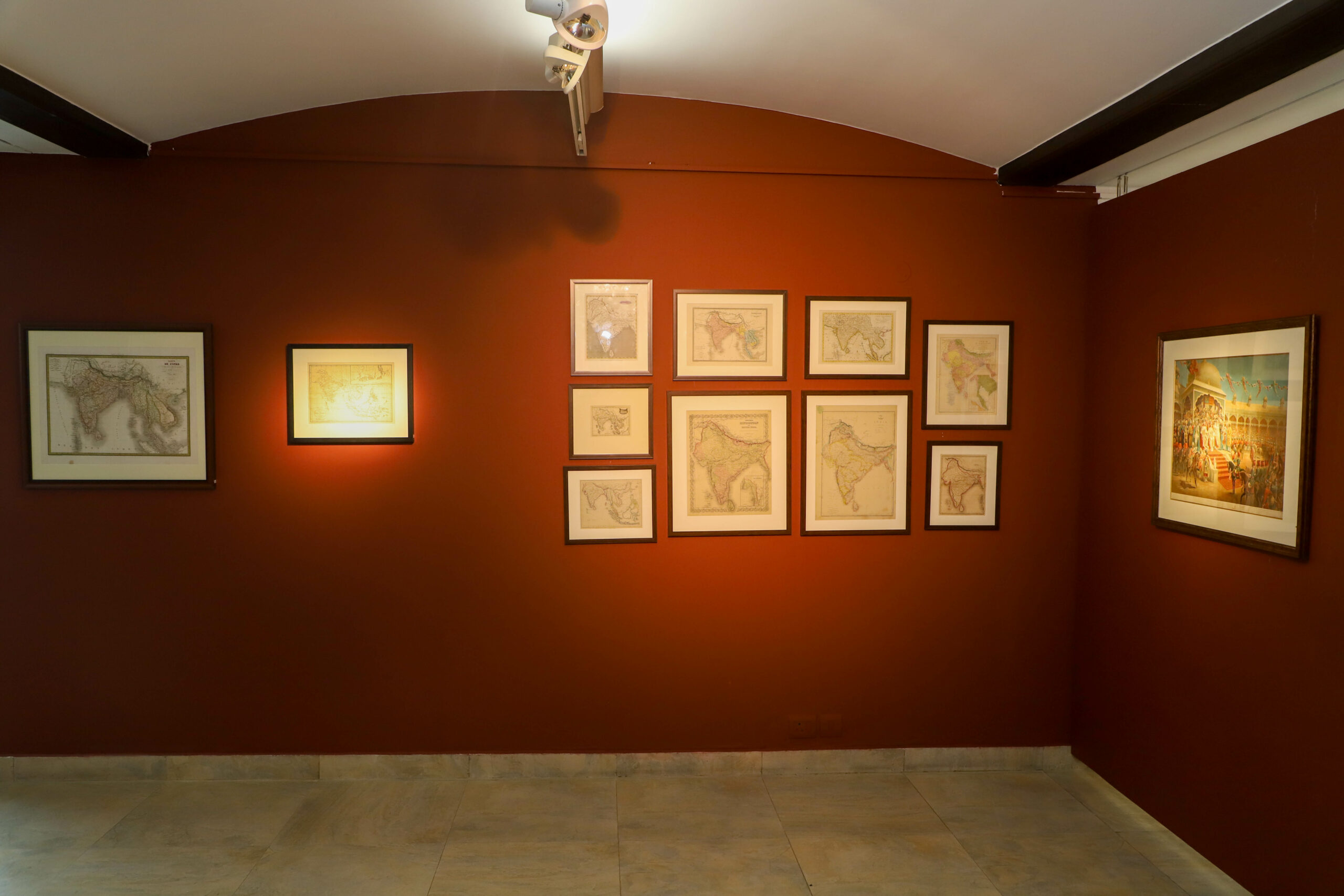
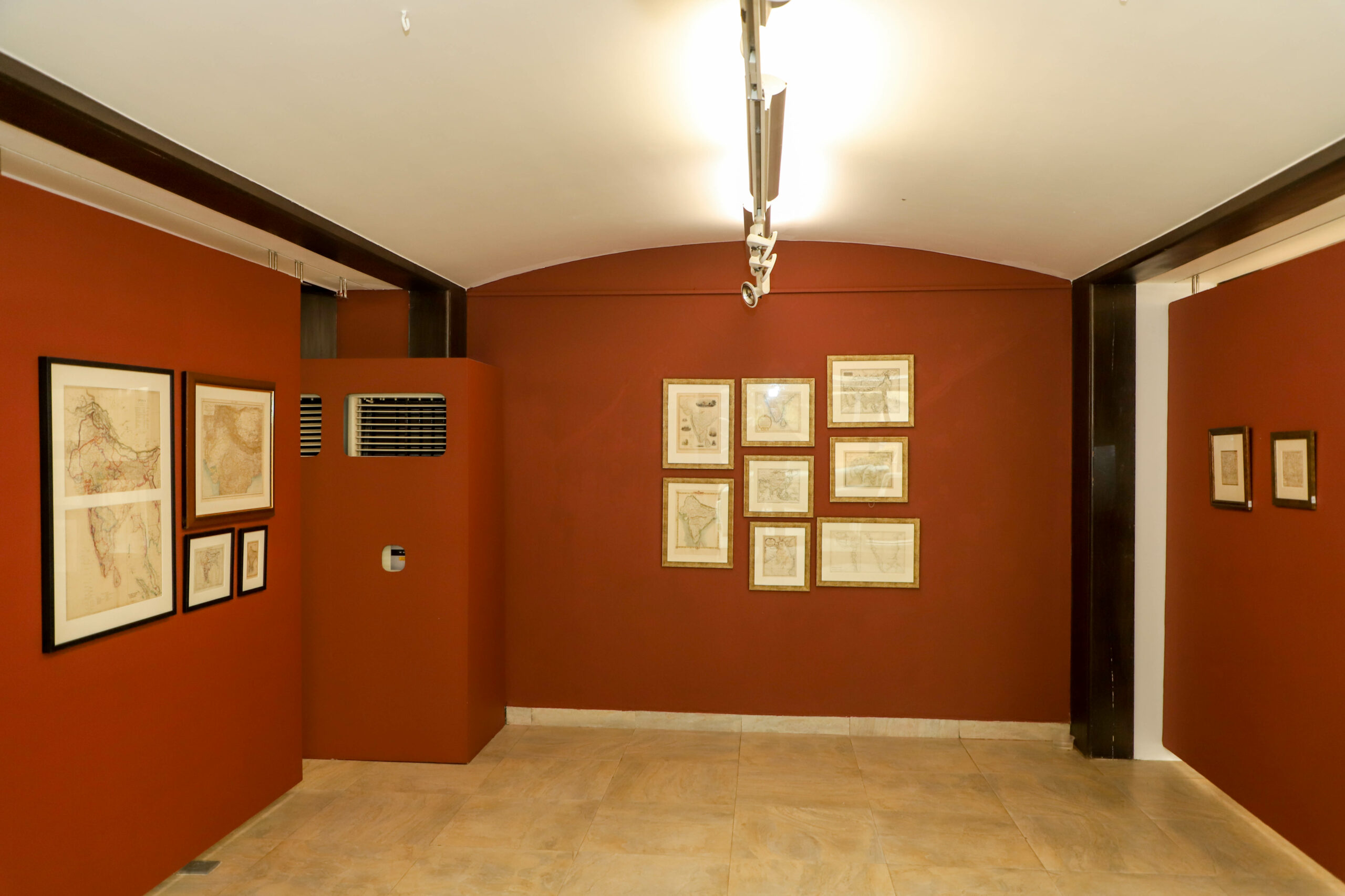
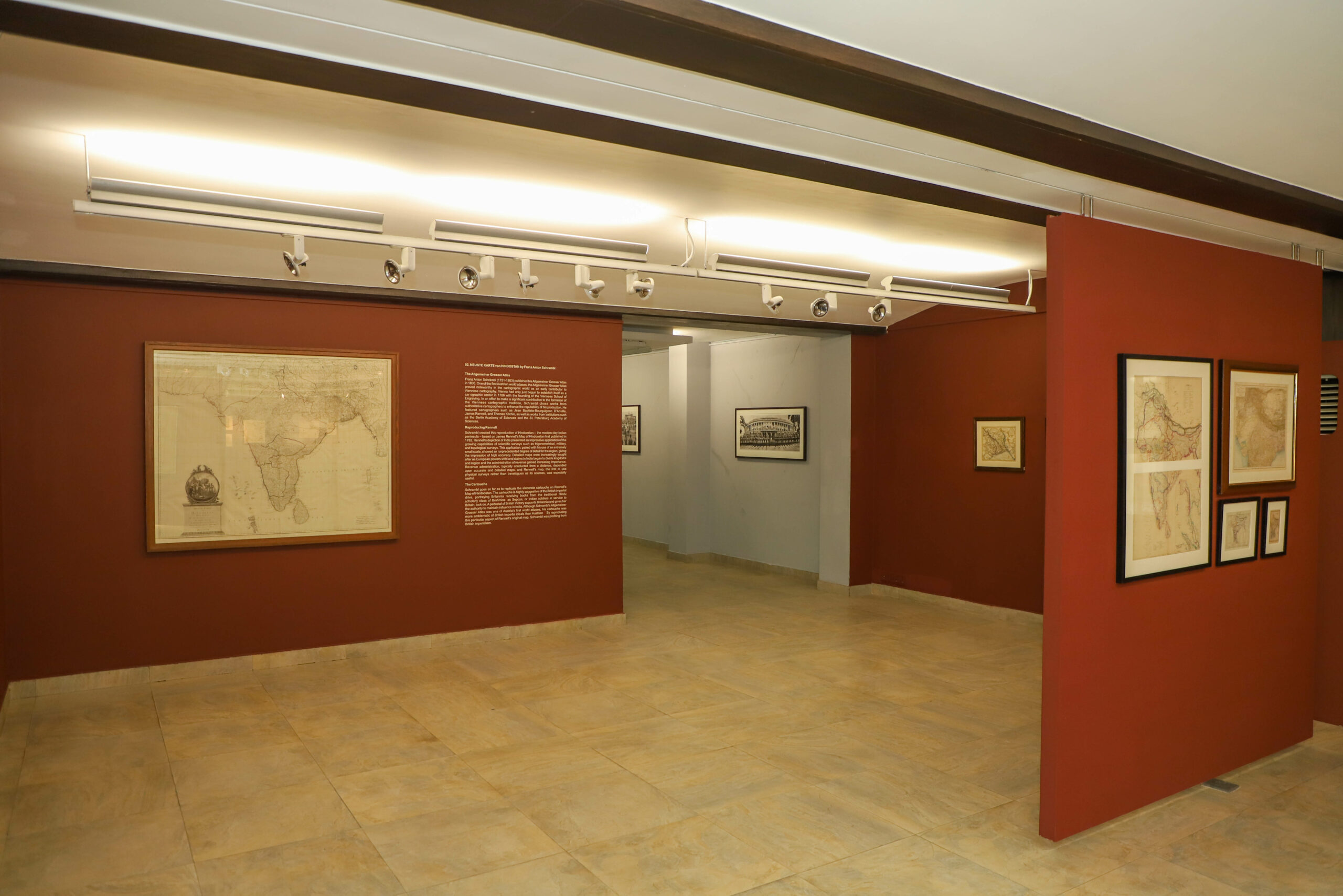
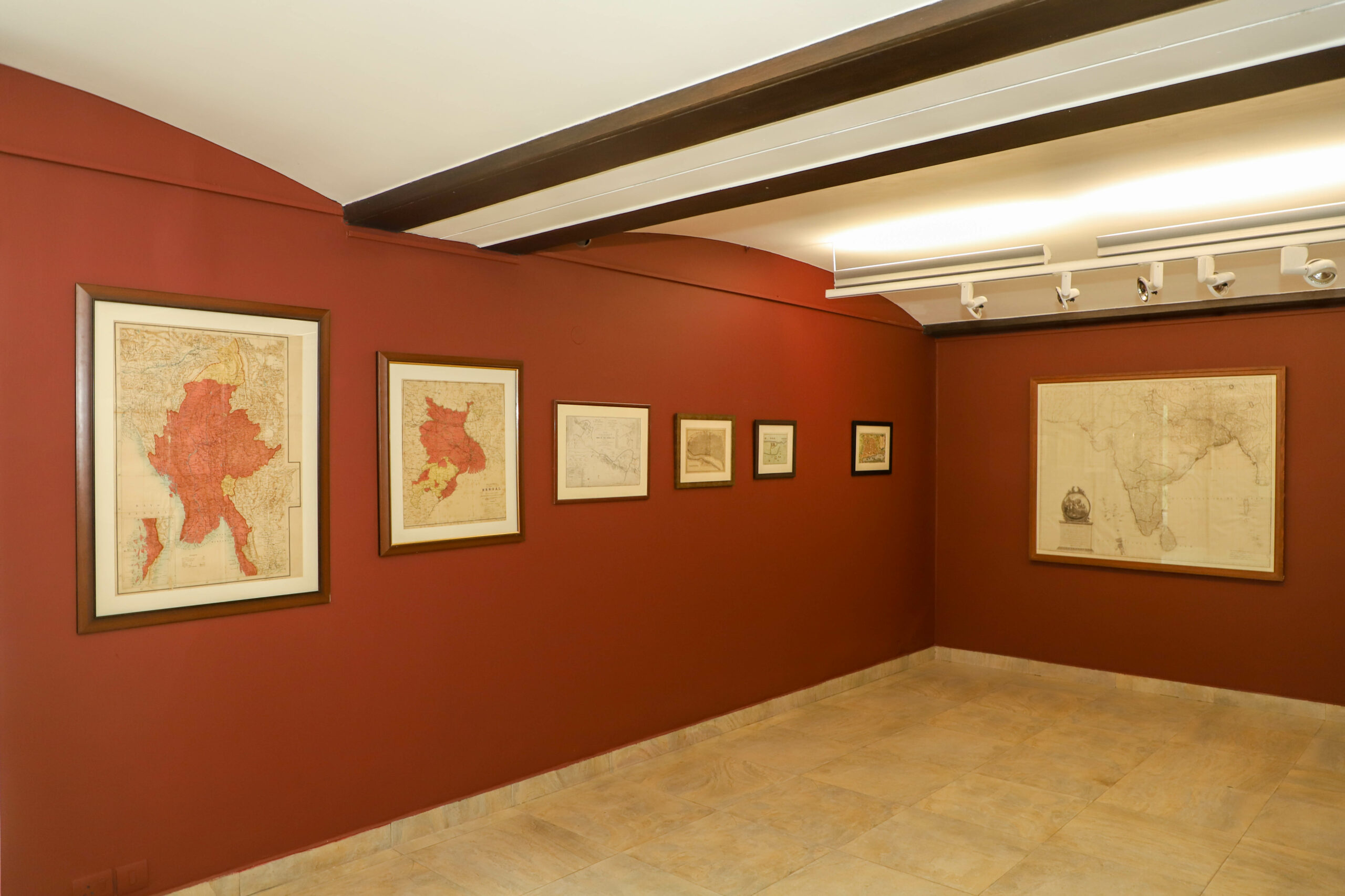
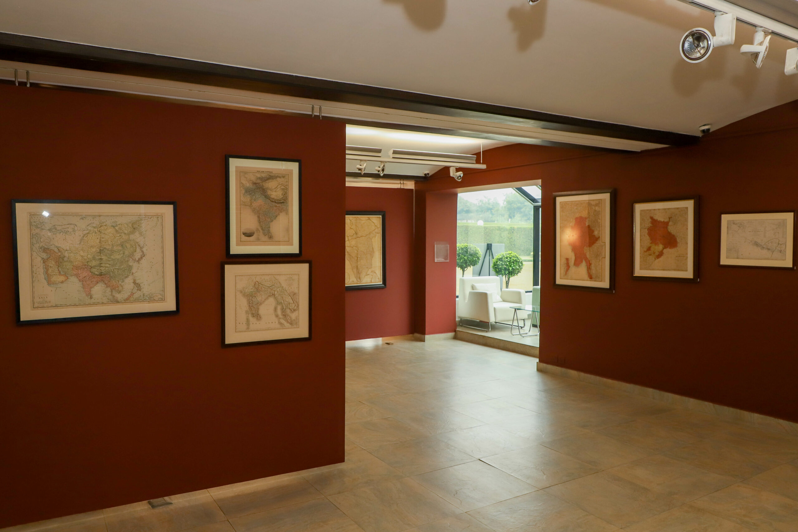
To mark the 70th year of India’s independence, Ojas Art presents a selection of 70 maps by cartographers like Seutter, Rennell, Mortier, Lapie, Bonne and Tallis. Each map narrates a unique story and shows how boundaries have changed over the centuries. The maps have been printed in England, France, Italy and the USA. Each map tells a story. A story that can be traced back through her maps.

Cartography is the art of graphically representing a geographical area. As an art it was at its zenith in 17th-19th centuries as explorers discovered more places and were also able to mark their exact geographical locations with the help of longitudes and latitudes. During that time, there was a vast commissioning of maps by the western powers. Cartography is also educational as it helps in understanding changing geographical boundaries and the possible reasons behind them. The collection on display focuses on maps of Pre-independence India when it represented present day India, Pakistan and Bangladesh.

Artists in Exhibition

LOAD MORE

Artworks

Map of Mughals celebrating 50 years of Red Fort, Delhi Wagner, 1688 C.E

false

false

ENQUIRE

This is an original map and not a representation

Print Size: 15" X 19" Frame Size: 16" X 20"

ENQUIRE

Dachinabadae ora Maritima secundum anonymi periplum maris erythrei (India)

Colouring : In original o/1 colours 398 X 222 mm

ENQUIRE

Anonymi auctoris periphus Maris Erytherai

In original 0/1 colours 325 X 222 mm

ENQUIRE

Plan de Goa. Grondtekening van Goa

Coloured 265 X 220 mm

ENQUIRE

Neue Karte Von De, Kongreiche Bengala

Colouring: Attractive Colors 340 X 280 mm

ENQUIRE

India Orientals cum Adjacentibus Insulis Nova Delineatione ob oculos posita

22" X 19.5"

ENQUIRE

Gray’s new map of the World in hemispheres, 1885

This is an original map and not a representation Print Size: 16" X 27" Sheet Size: 18" X 28"

ENQUIRE

The World

This is an original map and not a representation Print Size: 12" X 15" Sheet Size: 13" X 17"

ENQUIRE

South Western Asian

This is an original map and not a representation Print Size: 11" X 13.5" Sheet Size: 13" X 15"

ENQUIRE

East India

This is an original map and not a representation Print Size: 35" X 25" Paper Size: 36" X 26"

ENQUIRE

The Province of Bengal – 1909

This is an original map and not a representation Print Size: 24" X 21" Frame Size: 25" X 22"

ENQUIRE

Deliste Corvens Mortier, 1742

This is an original map and not a representation Print Size: 18" X 23" Paper Size 20" X 25"

ENQUIRE

Hindustan

This is an original map and not a representation Print Size: 10" X 12" Frame Size: 11" X 13"

ENQUIRE

Hindostan, 1817

This is an original map and not a representation Print Size: 11" X 9" Paper Size: 12" X 10"

ENQUIRE

Northern India- Nepal – Bhutan – Kashmir – Bombay

This is an original map and not a representation Print Size: 15" X 19" Paper Size: 17" X 20"This is an original map and not a representation Print Size: 15" X 19" Paper Size: 17" X 20"

ENQUIRE

The Bengal Provinces, Burma & Southern Tibet

This is an original map and not a representation Print Size: 14" X 20" Frame Size: 16" X 21"This is an original map and not a representation Print Size: 14" X 20" Frame Size: 16" X 21"

ENQUIRE

Central Asia and India

Print Size: 19" X 15" Sheet Size: 21" X 16"

ENQUIRE

Walch, J. – Ostindien

This is an original map and not a representation Print Size: 9" X 8", Paper Size: 8" X 10"

ENQUIRE

The Malay Peninsula

Island of Singapore This is an original map and not a representation Print Size 14" X 10" Paper Size: 15" X 11"

ENQUIRE

A Map of Bengal

This is an original map and not a reproduction. Print Size: 43" X 29", Sheet Size: 45" X 31"

ENQUIRE

(Composite of) India by Keith Johnson, F.R.S.E

This is an original map and not a reproduction. Print Size: 35" X 24" Sheet Size: 36" X 25"

ENQUIRE
Loading...

OJAS ART

  • 1AQ, Near Qutab Minar, Mehrauli,
    New Delhi, 110030

TIMINGS

  • 11 AM – 7 PM
    Monday – Satuday

QUERIES

  • +91 98738 59158
  • +91 8510044145
  • art@ojasart.com

SOCIAL

  • Facebook
  • Instagram
  • Twitter
  • Youtube
  • Facebook
  • Instagram
  • Twitter
  • Youtube
  • © 2023 OJAS ART : All rights reserved
  • Design & Developed by Wide Shouts Designs
  • Information
  • Exhibitions
  • Fairs and Events
  • Artists
  • 1AQ
  • Publications
  • Information
  • Exhibitions
  • Fairs and Events
  • Artists
  • 1AQ
  • Publications
  • + instagram
  • + facebook
  • + twitter

INDIA: A MAPFUL STORY 2017

IMG_3149
IMG_3115
IMG_3107
IMG_3117
IMG_3123
IMG_3131
IMG_3133
IMG_3146
IMG_3147
IMG_3150
IMG_3155